





Mapping the Subterranean: How CivilGrid is Solving the Utility Strike Crisis
For a decade, Josh Mackanic served as an engineer at Pacific Gas and Electric (PG&E), but his tenure was defined by a recurring, high-stakes frustration: the dangerous mystery of what lies beneath the soil. The construction industry is plagued by a lack of transparency regarding underground infrastructure, a blind spot that frequently leads to costly delays and hazardous accidents.
### The High Cost of Hidden Infrastructure
Mackanic’s decision to pivot from his engineering career was sparked by a specific, harrowing incident on a job site. During an excavation project, his team narrowly avoided striking an unidentified pipe. While they were lucky enough to spot the obstruction before causing damage, the subsequent fallout was a logistical nightmare.
“We spent three days in a state of total uncertainty,” Mackanic explained. “We were scrambling to identify the owner of the line, determine if it was pressurized, and figure out if we could safely work around it.” That single three-day administrative bottleneck resulted in a $60,000 loss-a figure that highlights the massive financial drain caused by poor data accessibility.
### Why Utility Strikes Remain a Persistent Threat
Even industry giants like PG&E operate with limited visibility. While these companies maintain meticulous records of their own gas and electric lines, they remain largely in the dark regarding the web of water mains, sewage pipes, and telecommunications cables owned by third parties.
This fragmentation of data is a systemic failure. According to recent industry reports, the United States experiences approximately 200,000 “utility strikes” annually. These incidents are not merely expensive; they pose significant safety risks to workers and the public, often resulting in service outages and environmental damage.
### CivilGrid: A Digital Blueprint for the Subsurface
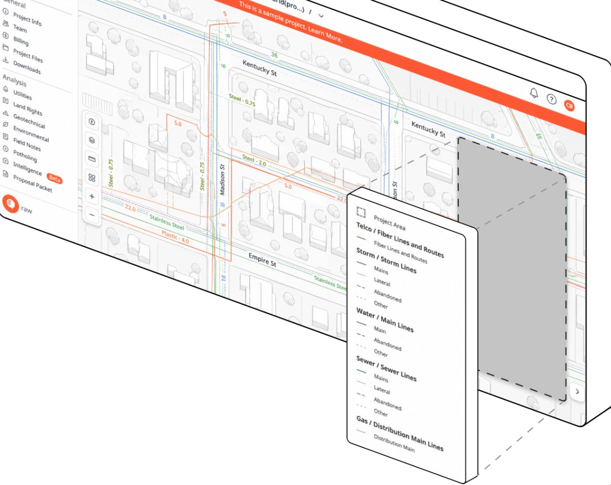
In 2020, Mackanic launched CivilGrid to bridge this information gap. The startup functions as a centralized intelligence platform, aggregating fragmented data points-ranging from municipal utility records and property ownership deeds to complex environmental compliance regulations.
By synthesizing this information, CivilGrid provides a comprehensive, visual interface that Mackanic describes as “Google Maps for the underground.” This platform empowers government agencies and private contractors to visualize the subterranean landscape before a single shovel hits the dirt. By replacing guesswork with precise, data-driven insights, CivilGrid aims to modernize infrastructure management and drastically reduce the frequency of accidental strikes.